
Madison and the surrounding region will experience an active, although not overly exciting, period of wintry weather to close out the work week. The first round of light snow will arrive on Wednesday and spread across the region from West to East during the afternoon. Precipitation may start as a wintry mix before quickly transitioning to all snow as the atmosphere cools. Light snow will likely continue through the evening hours with accumulations of around an inch expected, with more significant totals across Northern Wisconsin. Impacts to the Wednesday evening commute will be minimal as light snowfall rates and temperatures near the freezing mark should prevent any serious issues on primary commuter routes.
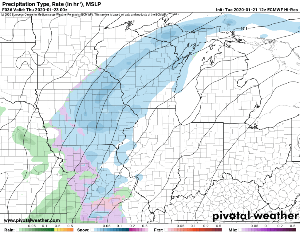
The shortwave energy driving Wednesday night’s precipitation will progress East of the region Thursday morning; a lull in precipitation is possible during this period. However, a trough digging into the Ohio Valley will quickly take its place, returning light precipitation to the region Thursday night as an area of low pressure develops to the south.
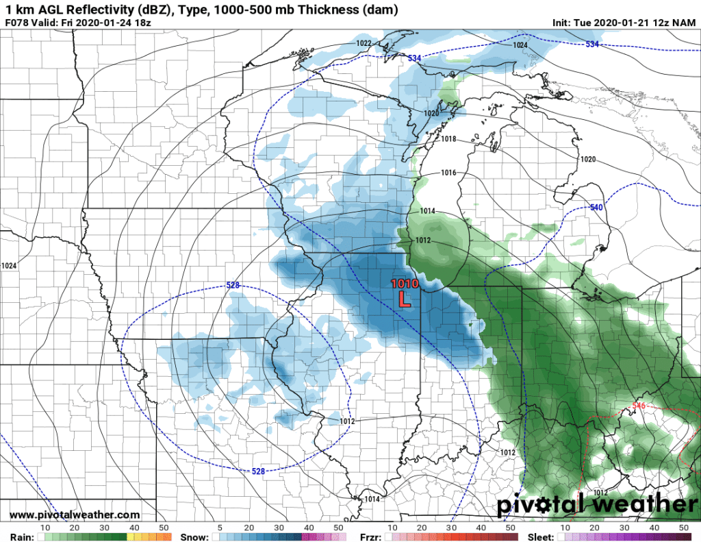
Uncertainty remains concerning the exact track this area of low pressure will take. A more southern progression which takes the center of low pressure nearly straight West to East through central Missouri and southern Illinois is favored by many of the models at this time. This would result in a period of light to moderate snow for the region Thursday night through Friday morning. Accumulations would likely total an additional inch or two for most of the region.
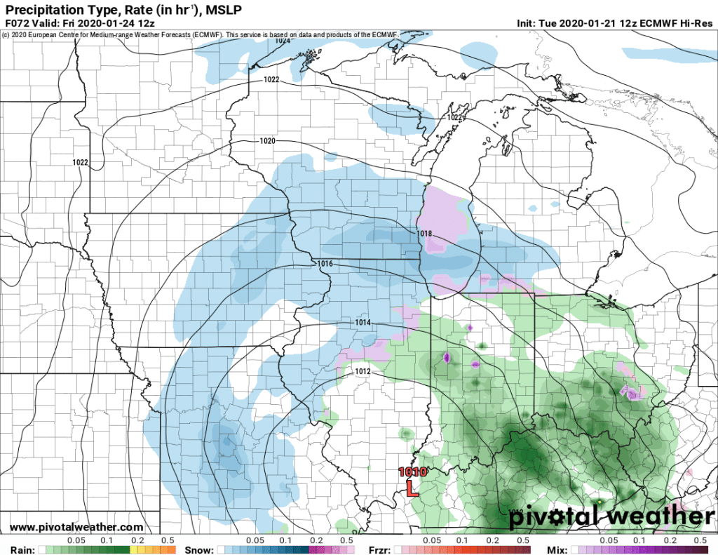
Another potential scenario for Thursday and Friday involves the area of low pressure taking a more Northern track, closer to the Wisconsin – Illinois border. This would result in a more prolonged period of moderate snowfall for the region, allowing for slightly higher snowfall totals of 2 to 3 inches Thursday night through Friday. This track would also create the chance for a a period of wintry mix, particularly near the Wisconsin-Illinois border as the storm advects warmer air into the region.
Both of these scenarios would be unlikely to have significant impacts on travel, although difficulties could emerge if an area of moderate to heavy snow does develop (So overall pretty par for the course for January). Temperatures near freezing will once again aid road crews in quickly cleaning roads and keeping traffic moving. Snow will likely wrap up Saturday morning, and the rest of the weekend should be relatively pleasant for this time of year with temperatures in the mid 30’s, and clouds but no precipitation (The key word was “relatively” in case you couldn’t tell). If changes to this forecast are needed, we’ll have the latest updates here and on our twitter page. Stay tuned!
