
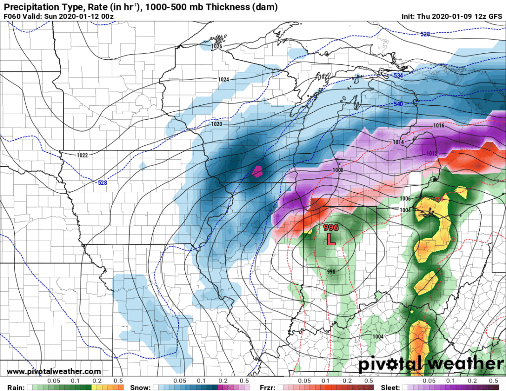
It appears increasingly likely that the Madison Area will experience a significant snow event Saturday afternoon into Sunday morning. A strong low pressure system is forecasted to develop along a frontal boundary and track northeast through Illinois, just south of Lake Michigan, bringing potentially heavy snow to all of southeastern Wisconsin.
Precipitation will fall as snow for the entirety of the event for most of Southeastern Wisconsin, including the Madison area. Some mixing with sleet is possible to the far south and east in Kenosha, Racine and possibly Milwaukee County. While there is still uncertainty regarding snowfall amounts it seems likely that a large swath of the region will see totals in the range of half a foot, with the hardest hit areas potentially recording amounts reaching 12 inches. Our snowfall map will be posted in the coming days, once we iron out details in our prediction.
Expect a period of difficult to hazardous travel Saturday afternoon through Sunday morning as heavy snow, winds, and snow covered roads will create dangerous conditions.
